
About the Conference

The Era of Digital-Intelligence:
Integration and Application of Surveying, Mapping, and Geospatial Information
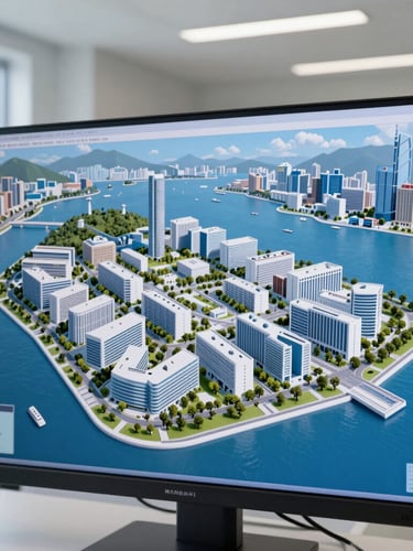
The conference gathers experts, scholars, and industry leaders from Chinese Mainland, Hong Kong, Macao, and Taiwan. This event will establish a high-end and diverse forum for core focus areas such as satellite navigation and positioning, 3D real scene and digital twins, the integration and innovation of Artificial Intelligence (AI) as well as smart cities and national spatial planning.
Concurrently, the Hong Kong Institute of Surveyors and the Hong Kong Geographic Information System Association will jointly organise "Asia GIS Conference 2026". All conference registrants are eligible to attend the Asia GIS Conference 2026.
Core Focuses
Innovation in GIS Education, Talent Cultivation, and Academic Ecosystem Development
Cutting-Edge Theories and Key Technologies in Surveying and Geospatial Information
3D Real Scene, Digital Twins, and Spatial-Temporal Big Data
Satellite Navigation and Positioning, Remote Sensing, and UAV Surveying and Mapping Technologies
Engineering Surveying, Cadastral and Property Surveying, and Industry Applications for Major Infrastructure
Integration and Innovation of GIS, Artifical Intelligence, and General Large Models
Integration and Innovation of GIS, Artifical Intelligence, and General Large Models
Natural Resource Monitoring, Environmental Protection, and Disaster Prevention and Mitigation Applications
1st Cross-Strait, Hong Kong Macao Conference on the Development of Surveying, Mapping and Geospatial Information
Quick Links
Conference Secretariat
Email:info@cshkmosgdc.org
Venue: The Hong Kong Institute of Surveyors
Concurrent: Asia GIS Conference 2026
© 1st Cross-Strait, Hong Kong Macao Conference on the Development of Surveying, Mapping and Geospatial Information
Exchange · Innovation · Digital Intelligence